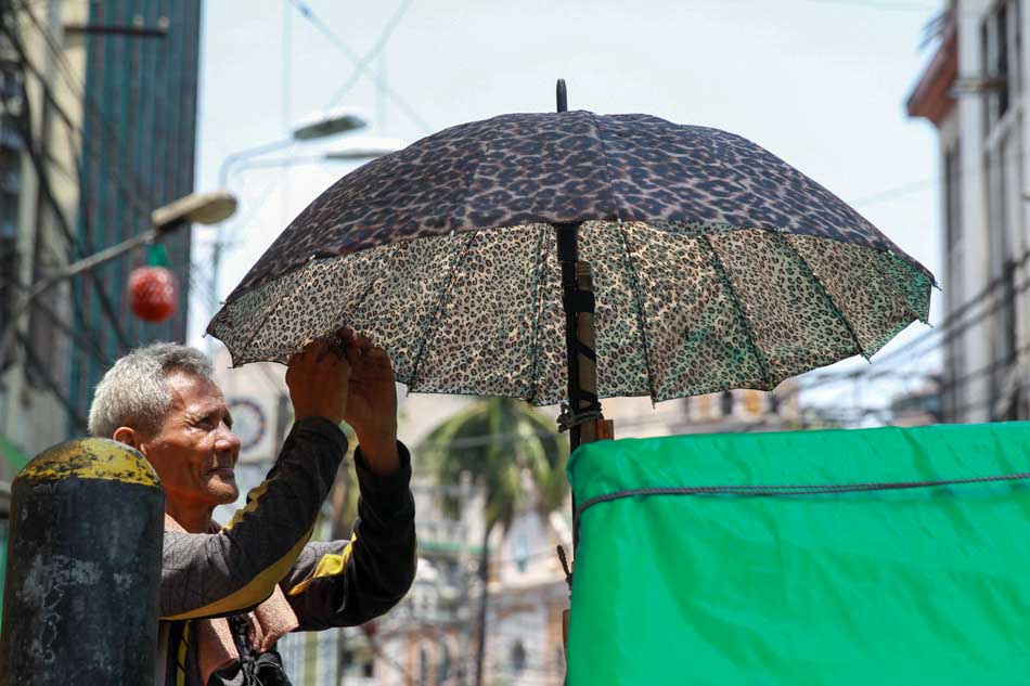
A pedicab driver fixes his umbrella to fight the searing heat in Manila on Thursday. Weather bureau PAGASA recorded the hottest temperature so far this year in Metro Manila that reached 35 degrees Celsius with a heat index of 41 degrees Celsius at around 1 p.m.(MNS photo)
MANILA (Mabuhay) – The prevailing strong El Nino phenomenon will further affect Philippine rainfall patterns, likely causing in 2016’s first quarter “very dry” conditions mostly across the Visayas and Mindanao,
State-run Philippine Atmospheric, Geophysical and Astronomical Services Administration (PAGASA) gave such warning as this agency forecast for the January-March 2016 period below-normal to way below-normal rainfall in the country due to El Nino.
“By the end of March, about 40 percent of the country or 32 provinces will likely experience meteorological drought conditions,” PAGASA said this week in its latest seasonal climate outlook.
PAGASA defines drought as three consecutive months of waybelow-normal rainfall condition.
Such condition is characterized by more than 60 percent reduction in rainfall from average levels, noted PAGASA.
Data PAGASA presented at this month’s El Nino forum showed at risk for drought by March 2016’s end are the central Philippine provinces of Palawan, Albay, Camarines Sur and Catanduanes all in Luzon as well as Aklan, Antique, Capiz, Guimaras, Iloilo, Negros Occidental, Cebu, Negros Oriental, Siquijor, Biliran, Eastern Samar, Northern Samar and Samar all in the Visayas.
PAGASA also forecast drought by then in Zamboanga del Norte, Zamboanga del Sur, Zamboanga Sibugay, Bukidnon, Lanao del Norte, Misamis Occidental, Davao del Sur, Davao Oriental, South Cotabato, North Cotabato, Sarangani, Sultan Kudarat, Basilan, Maguindanao, Lanao del Sur, Sulu and Tawi-tawi provinces all in southern Philippines’ Mindanao,
The data likewise showed the country can expect between 16 to 31 dry days during 2016’s first quarter
Between 26 to 31 dry days are likely in March alone across 16 of 18 regions nationwide, the data further showed.
January to March is the northeast monsoon’s peak period but tropical cyclone (TC) activity that can bring rain to the country is at its minimum then, noted PAGASA.
For such three-month period, PAGASA forecast one to two TCs in the Philippine Area of Responsibility.
According to PAGASA, strong El Nino continues prevailing as data showed sea surface temperature anomaly (SSTA) in the Pacific exceeding 1.5°C.
PAGASA Climate Monitoring and Prediction Section OIC Anthony Lucero earlier said the Philippines is already experiencing El Nino’s effects.
“Drought, dry spell, delayed onset of last year’s rainy season, lesser-than-average number of TCs and higher temperatures are El Nino manifestations in the country,” he noted.
Citing latest available model outputs, he said El Nino may last until mid-2016.
He noted the models also indicate possible decreasing SSTA as 2016 progresses, however.
“We expect neutral conditions to return by July’s end,” he added, citing possible normalization of rainfall in the country by then.(MNS)