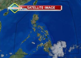
At least four areas in Mindanao were placed under Storm Signal No. 1 after a low-pressure area off Mindanao intensified into a tropical depression Monday afternoon and was locally codenamed Crising. PAGASA forecaster Fernando Cada said Tropical Depression Crising may bring rain that could cause flash floods and landslides in parts of Eastern Visayas and Mindanao. “Inaasahan itong gumalaw west-northwest ng 19 kph. Sa ngayon, Davao region ang posibleng unang maapektuhan,” Cada said in an interview on dzBB radio. He also said Tropical Depression Crising may bring rain to parts of Mindanao that Tropical Cyclone Pablo devastated last December. Cada said that in the next 24 to 36 hours, Crising may affect Eastern Mindanao, including Davao and Compostela Valley. But he also said there is a chance Crising will not intensify much since it is moving quickly at 19 kph. “Sa bagyong ganoon kabilis ang takbo ng bagyo, hindi ito maka-generate ng masyadong lakas dahil mabilis ito at malapit sa kalupaan,” he said. Under Storm Signal No. 1 are: Davao del NorteDavao del SurDavao OrientalCompostela Valley PAGASA warned residents in low-lying and mountainous areas under Storm Signal 1 to be alert against possible flash floods and landslides. It said rainfall of 5 to 15 mm per hour (moderate to heavy) may be expected from Crising’s 300-km diameter. As of 4 p.m., PAGASA said Tropical Depression Crising was estimated at 750 km east of General Santos City, with maximum sustained winds of 45 kph near the center. It said Crising is Read More …